

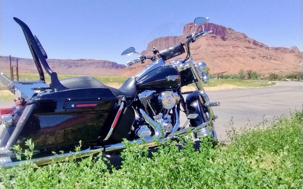

The Myth and Mayhem of the West: A Desert Odyssey, Part II
The pilgrimage to the Great American Southwest restarts with a stop. Battling unyielding desert winds and homogenized souvenir shops pervasive from Kingman through Sedona and into Gallup, it was time to give man and machine a break. Three days visiting close friends in Santa Fe and out of the saddle was the tonic I needed. It was hard to leave; it felt good to be back on the road.
The 416-year-old city of some 87,000 sits at 7,200 feet, making for balmy summers and icy winters. Not a place you want to ride beginning in the late fall, but delightful when I visited in June. Park the bike and walk around Santa Fe Plaza, the historic heart of town, ringed with restaurants, shops, the centuries old Cathedral Basilica of St. Francis of Assisi, the Georgia O’Keeffe Museum and the Museum of Contemporary Native Arts. There are other attractions, of course, including the Santa Fe Indian Market laid out on blankets in the plaza. There you can find native made jewelry, pottery, textiles and fine art- beautiful, authentic, and pricey. If you would like to continue shopping, Canyon Road is famed for its collection of art galleries and boutiques.
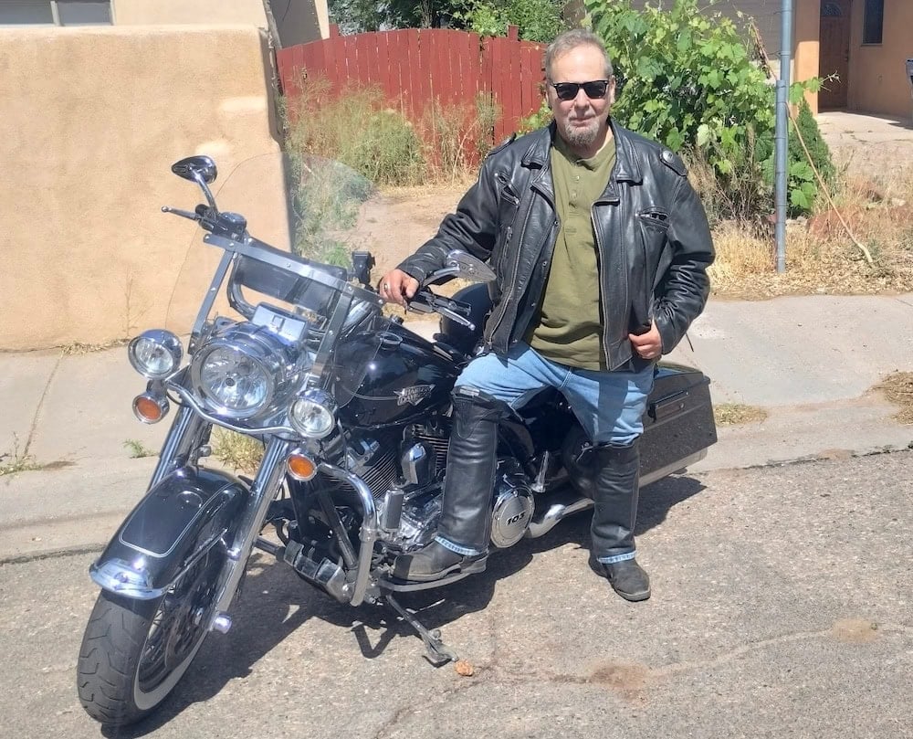
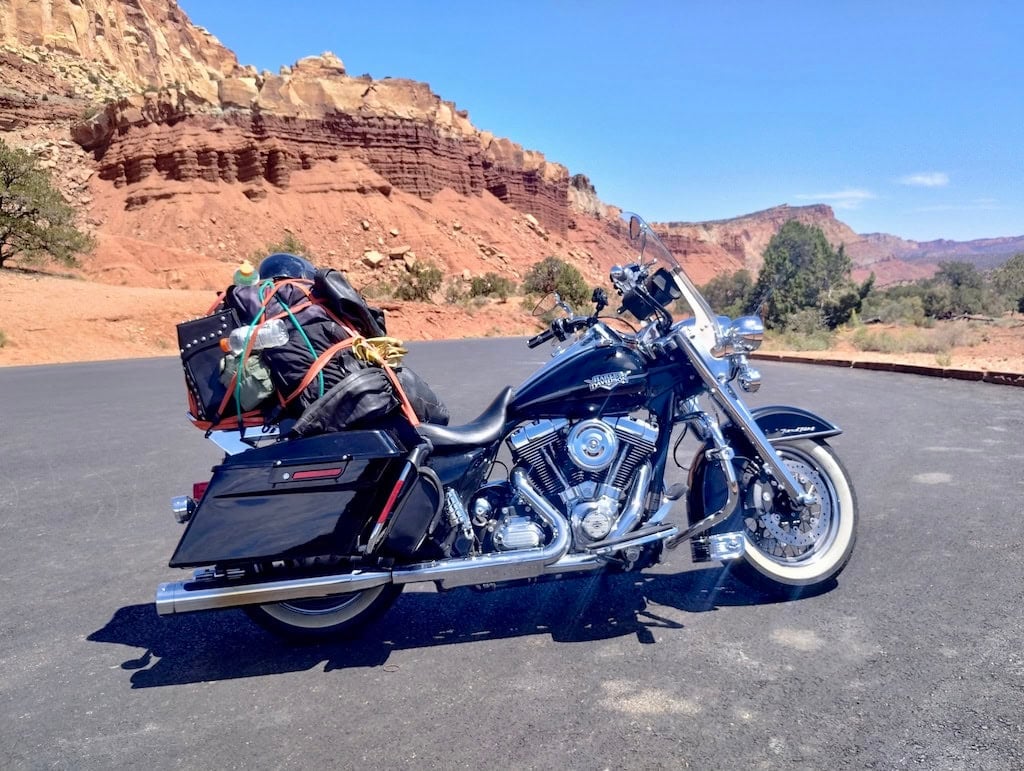
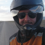
Have kit, will travel. Second photo in Capitol Reef.
The House of Eternal Return
And then there is something quite strange and surreal called the House of Eternal Return, produced by the Meow Wolf art collective. It is a 20,000-square-foot psychedelic mystery house and interactive labyrinth. It’s about five miles from the plaza in an industrial area. Secret portals to 70 different rooms alit with glowing forests, neon tunnels and cosmic landscapes. No LSD needed.
As for food, just follow the locals. The Shed, in the plaza’s tourist center but not touristy, is recommended. The restaurant has excellent authentic New Mexican cuisine, which is not to be confused with Mexican or Tex-Mex. It blends Native American, Mexican and Spanish colonial traditions, and somehow tastes “lighter” and more flavorful than standard Mexican fare. For more locals fun, the Santa Fe Railyard offers open air markets, coffee shops, galleries, live entertainment, and assorted eateries.
Having had enough of civilization, it was time to say my goodbyes to this clan of chosen family. Heading north toward Pagosa Springs, CO on scenic Highway 84, the road divides a few miles out of Santa Fe. You could end up on 68 or a couple of clicks later, 285. There’s an almost unnoticeable jog to the left (west), so look for signs to Abiquiu and continue northeast.
Roughly an hour out of town, a must-stop is Bode’s General Store. It’s a combination grocery, hardware store, gift shop and café. They’re known for green chile cheeseburgers, burritos, and grab-and-go hot food, along with camping supplies, local crafts, knives, and the usual sundries. It’s a great place for a bite and a cool drink, chat with locals and fellow travelers, and maybe get a T-shirt. I added a folding knife to the collection, and maybe a shirt.
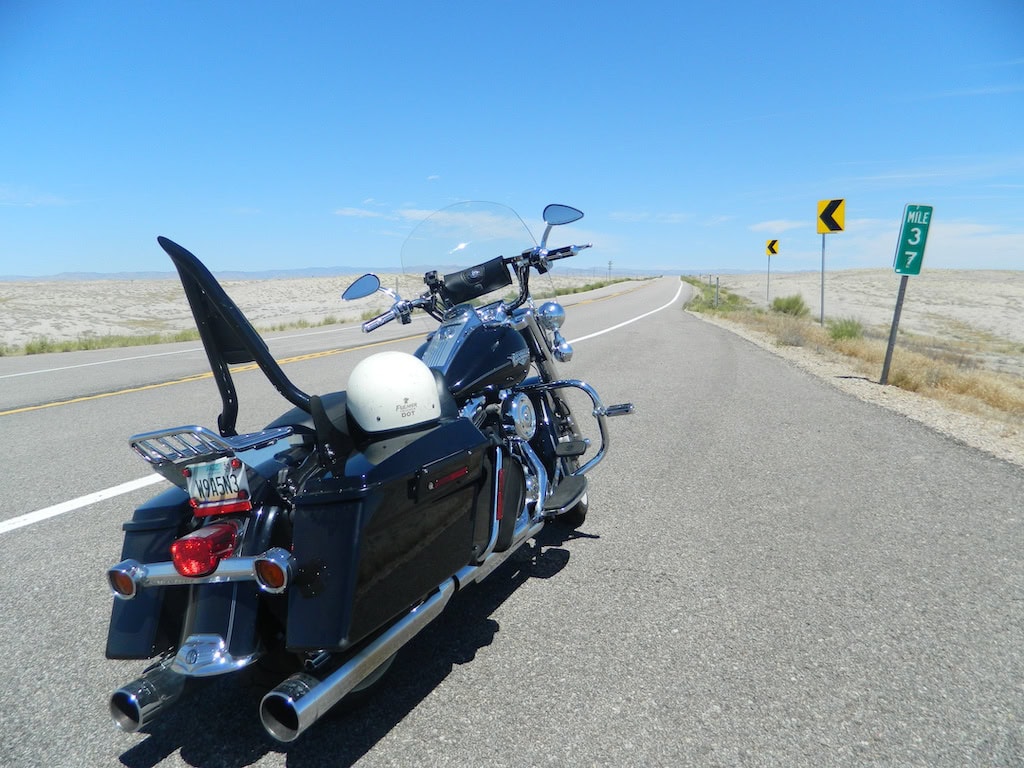
Riding the void.
Proceed At Your Own Risk
Passing El Vado Reservoir and Heron Lake State Park toward the west, I was tempted to detour over for a swim. Not entirely well known, bikers may jump naked into any body of water if he or she chooses to invoke the right. It’s in the Constitution, look it up. Unfortunately, law enforcement is not always up on federal law, so there’s that. Proceed at your own risk. I decided to not test the local constabulary’s knowledge and/or tolerance. Or did I?
Proceeding north to Colorado, I pulled into the charming southern Colorado resort town of Pagosa Springs, which looked smaller than I remember when I last visited, some 20 years ago. Maybe I just got bigger, or maybe it was because road work turned the whole town into a construction zone.
The village is famed for its hot spring, the world’s deepest at over 1,000 feet and feeding the town’s mineral waters. Took a break, had a sandwich, walked around the tiny downtown area, really just a short stretch of shops. Was once again disappointed with the inventory, which looks like it’s all coming from one source, even the more upscale stuff. Worse, the inflated prices will keep your money in your pocket. Treasure hunting has been stung hard and painfully by this economy, particularly if you like to find things unique to the area.
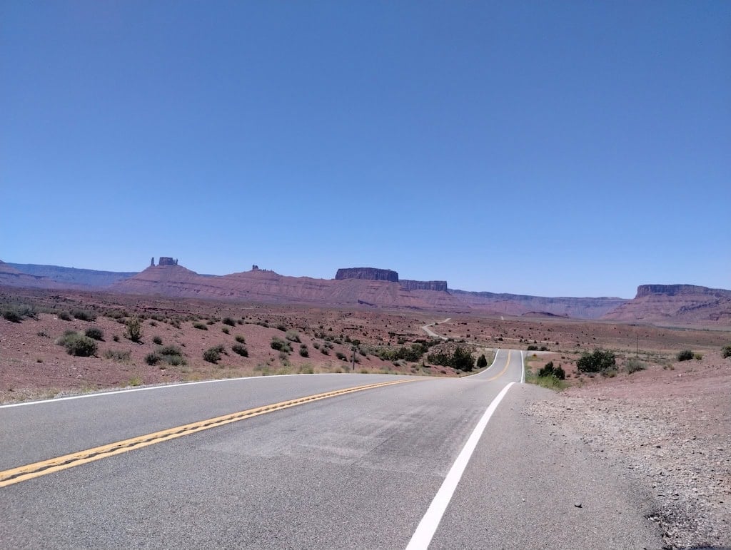
The Moab Road
Durango!
Heading west on Colorado Route 160, next stop: Durango! Ok, that doesn’t need an exclamation point, I just like saying Durango! As the virtual brochure says, Durango is where Old West meets Southwest. Downtown is the Nationally Registered Historic District. From the Durango and Silverton Narrow Gauge Railroad train depot at 5th Street (College Dr.) the downtown core runs nine blocks to 14th Street. Along the way is a world of boutiques, restaurants, saloons, and historic hotels.
One highlight is the train ride to Silverton, a mostly preserved Old West mining town. Roundtrip tickets range from $118 for a standard coach up to $313 for first class premium or presidential class. I took the bike. Silverton is in the Animas River Valley, sitting at 9,318 feet, tucked into the San Juan Mountain range. You’ll have to get over the Molas Pass. At 10,910 feet, it’s been known to snow there in late August. I should know, I was the one caught in the snow. The kind of weather where you want to pop off the front wheel and bolt on a ski (don’t).
The pass is about seven miles outside of Silverton but the descent is quick, pumping life-giving warmth back into your veins. It’s part of the Million Dollar Highway (US 550), an enthusiast favorite. It forms a giant loop from Durango to Silverton, Ouray (known for its hot springs), Ridgeway, the ski town of Telluride, Dolores, Cortez, which is near Mesa Verde National Park (highly recommended) and back. The Durango to Durango loop is almost 240 miles. Take 550 north from downtown to Ridgeway, then 62 West to 145 South to 160 East back to town.
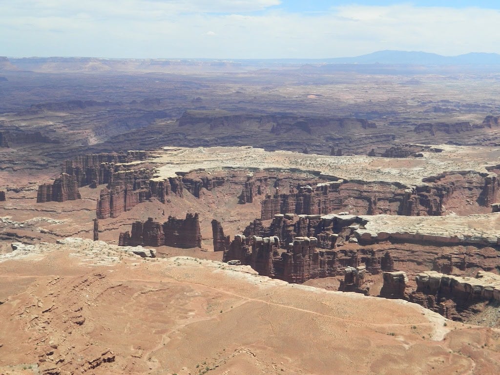
Colorado River Canyon from Canyonlands.
Four Corners Motorcycle Rally
Durango is also the unofficial center of the Four Corners Motorcycle Rally, which is held around Labor Day. The central location is the La Plata County Fairgrounds and to a lesser extent, the Sky Ute Casino Resort. But everybody hangs out in Durango. About three miles from downtown, Durango Harley-Davidson serves as the rally’s HQ, hosting vendors, demos and main check in. This year’s event was held Sept. 3-6.
Next stop, the jewel of southern Utah: Moab. Riding out of my overnight bunk in Durango! I picked up Route 160 West then northwest at Montezuma, CO to the Devil’s Highway, Route 666, where strange, spooky and inexplicable goings-on have been known to happen. But not to me. Eventually crossing into Utah, I turned north at Monticello onto Route 191.
On the way to Moab, don’t miss Hole in the Rock, a roadside attraction on the east side of 191. It has a trading post, general store, zoo, various vintage neon signs, gas pumps and ore cars and a 5,000 sq.ft. house cut out of solid rock, complete with a quaint wooden front door and, of course, an adjoining gift shop. It’s a good place to take a break, get a cold drink, maybe an ice cream if you want to go crazy. Take a tour of the house, and buy an iron-on bear patch for your denim jacket if you’re a cool guy.
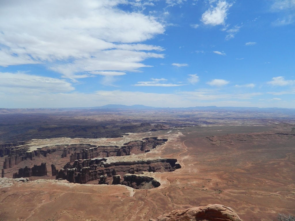
The La Sal Mountains rise in the distance.
Wondrous and Amazing Things
Finally, Moab. This tiny town on the Colorado River is the epicenter of wondrous and amazing things. It is home to giant stone monoliths transformed into unearthly shapes by earthly forces beyond imagining. Ancient seas invaded and retreated at least six times over 500 million years, leaving behind the varied strata of sedimentary rock that became an otherworldly palette for erosion forces. What’s left to us is enchantment, a bewildering landscape that casts a spell. Created long before humankind ever fell out of a tree, it has a power that pulls on man and biker alike. It’s our golden ticket to the extraordinary.
Moab is basecamp for Arches, Canyonlands and Capitol Reef national parks, Goblin Valley, Utahraptor and Goosenecks state parks, the Manti-La Sal National Forest as well as a number of other state parks. River rafting, ATVs, side-by-sides, jeep tours, rock climbing, base jumping, hiking, horseback riding, mountain biking are all available for tourist-types and normal citizens. But bikers bike. There are varied roads to the remarkable for your choosing.
Departing from “downtown” Moab, perhaps my favorite is Route 128 northeast toward Cisco. It skirts, and a one point point, crosses the Colorado River. Arches will be on your left. It eventually spills out at the Old Spanish Trail, now known as I-70. You can double back or take the trail west to Crescent Junction and pick up Route 191 south to create a big loop back to town.
Or you can double back and if you’re in the mood for a mountain ride, take the turn-off to Castle Valley and follow the La Sal Mountain Loop Road. This begins as a pokey desert ride, meandering through red rock formations, but climbs in elevation to the it’s-getting-damn-chilly zone (always bring your cold gear). The road narrows, somehow picks up wind, guardrails vanish and your knuckles start to turn white, then your face. It drops you back onto 191, near town. Glad I did this ride, but once was enough.
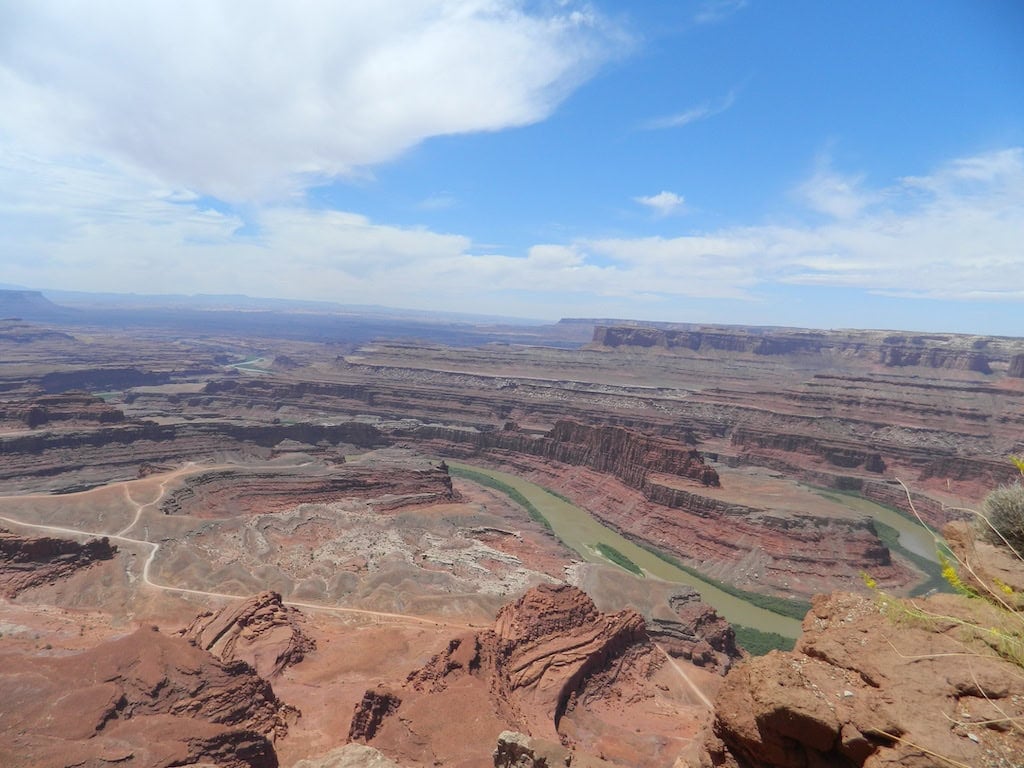
The Goosenecks of Canyonlands.
The Strange Ranger
A kind of strange, bit quirky park ranger gave me a tip on one road not taken. I’ve been given a bum steer before, by accident or intent, so I was a little skeptical, but what the hell. Heading north on 191, not far after passing the entrance to Arches, tucked into an unnoticeable corner that bends backward toward town, is Route 279. I found it on my last day, like a going away gift. It is a far less traveled path. Paralleling the river, rock climbers and campers popped up here and there but otherwise I didn’t see any people, or more importantly, very few cars. It looked like I could just pull over and jump into the river and have it to myself, invoking the aforementioned right. Just a short walk through the brush to refreshment and a splashy commune with nature.
Unfortunately, 279 turns to dirt after a few miles. Dirt can be ok, depending if it’s hard-pack, bone shaking washboard, or deep, fishtailing sand. I’ve ridden plenty of dirt roads and have the bent rims to prove it, but decided not to test the big, heavy and somewhat clumsy at slow speeds ’12 Road King.
For a more conventional ride, take 191 north from Moab, past Arches and 279 to Highway 313 toward Canyonlands National Park. Take the turn-off to Dead Horse Point State Park for spectacular views of the Colorado River Canyon and its winding gooseneck curves, 2,000 feet below. The La Sal Mountains rise in the distance. A bright blue lake is visible in the moonscape valley, a puzzling sight until you learn it’s a potash evaporation pond. Still cool, though.
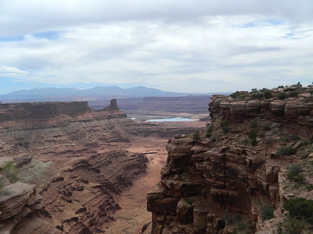
View from Dead Horse Point with potash evaporation pool in the distance.
Leaving the Dead Horse
Leaving the Dead Horse overlooks, I turned south on 313 and rode toward Canyonlands’ northern gate. Entrance requires a national park’s pass ($20 for seniors, good for a year). The high desert winds were blowing me around a bit, which was ok until I saw my cell phone sitting on my lap, at about 50 mph. It somehow escaped from an inside pocket, migrated from my hip and took a seat on my leg, just daring me to grab it before it fell on the road and exploded. Instead, I kept my leg as level as possible, using a little body English to keep the phone on its perch. I slowed down gradually, pulled over to the dirt shoulder, and snagged the wayward thing before it could make a run for it. Sneaky phone.
I think it’s always a good idea to check out the visitor center, where you can learn things and hydrate. The new knowledge might hurt your head, but it always enhances the experience. The more you know about something the more you can appreciate it, like fine art, or us.
Joshua P.
Editor’s Note: Watch for Part III and the final installment of Western Odyssey in an upcoming issue of RoadDirt.tv.

















0 Comments